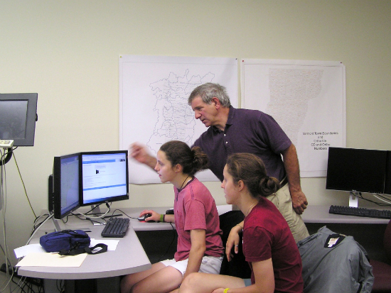
Did you ever wonder what GIS/GPS systems are used for besides the Garmin or Magellan on your dashboard? A visit to the GIS lab at Lyndon State this summer would give you an idea. In the lab with Professor John DeLeo are three summer interns, Ashlee Beard, a Lyndon junior from E. Burke, and Casey and Megan Ogden, twin sisters from Mt. Abraham Union High School.
DeLeo has been training Casey and Megan to work with Beard, a veteran GIS mapper. The three, under the direction of Prof. DeLeo, will digitize a 30,000 acre portion of the Northern Forest for use by the owner and the state in land management. In July, Beard worked on the map of an 83-acre timber stand under a grant from the Neal and Louise Tillotson Fund of the New Hampshire Community Foundation.
The team will take points collected with GPS equipment and plot them on a map. This information can also be transferred to Google Earth, which shows satellite photographs of the Earth.
DeLeo and his students often perform contract work such as this in the summer. Area towns hire him and his students to help with town planning by creating maps of such things as culverts and other buried infrastructure components; DeLeo’s next contracts are with the towns of Danville and Barnet.