Vermont Business Magazine The Vermont Department of Environmental Conservation (DEC) invites the public to view the latest round of updates to the state wetland maps in over 100 towns, within the counties of Addison, Bennington, Orleans, Essex, Caledonia, Rutland, Chittenden, Lamoille, and Frankin. The draft maps show the approximate location and shape of existing wetlands where previous mapping had been absent or inaccurate.
View and compare the changes to the Vermont Significant Wetlands Inventory Map using the online interactive map. To learn more, check out the Environmental Notice Bulletin materials or attend one of the public meetings this month:
June 16, 2026, 6:30 pm:
- In-person: The Arlington Common, 3938 VT-7A, Arlington, VT
- Virtual access: Register in advance for this meeting.
June 17, 2026, 3:00 pm:
- In-person: 43 Portland Street, Morrisville, VT 05661, Tegu Building (Morristown Town Office Building) in the Community Meeting Room
- Virtual access: Register in advance for this meeting.
The wetland map updates were required by the Vermont Flood Safety Act, Act 121, passed in 2024. This batch of maps is similar to the preceding updates in June 2025 and March 2026. Experts at GeoSpatial Services at Saint Mary’s University created most of the mapping, which was spot-checked in the field.
The Department of Environmental Conservation is responsible for protecting Vermont's natural resources and safeguarding human health for the benefit of this and future generations. Visit dec.vermont.gov and follow the Department of Environmental Conservation on Facebook and Instagram.
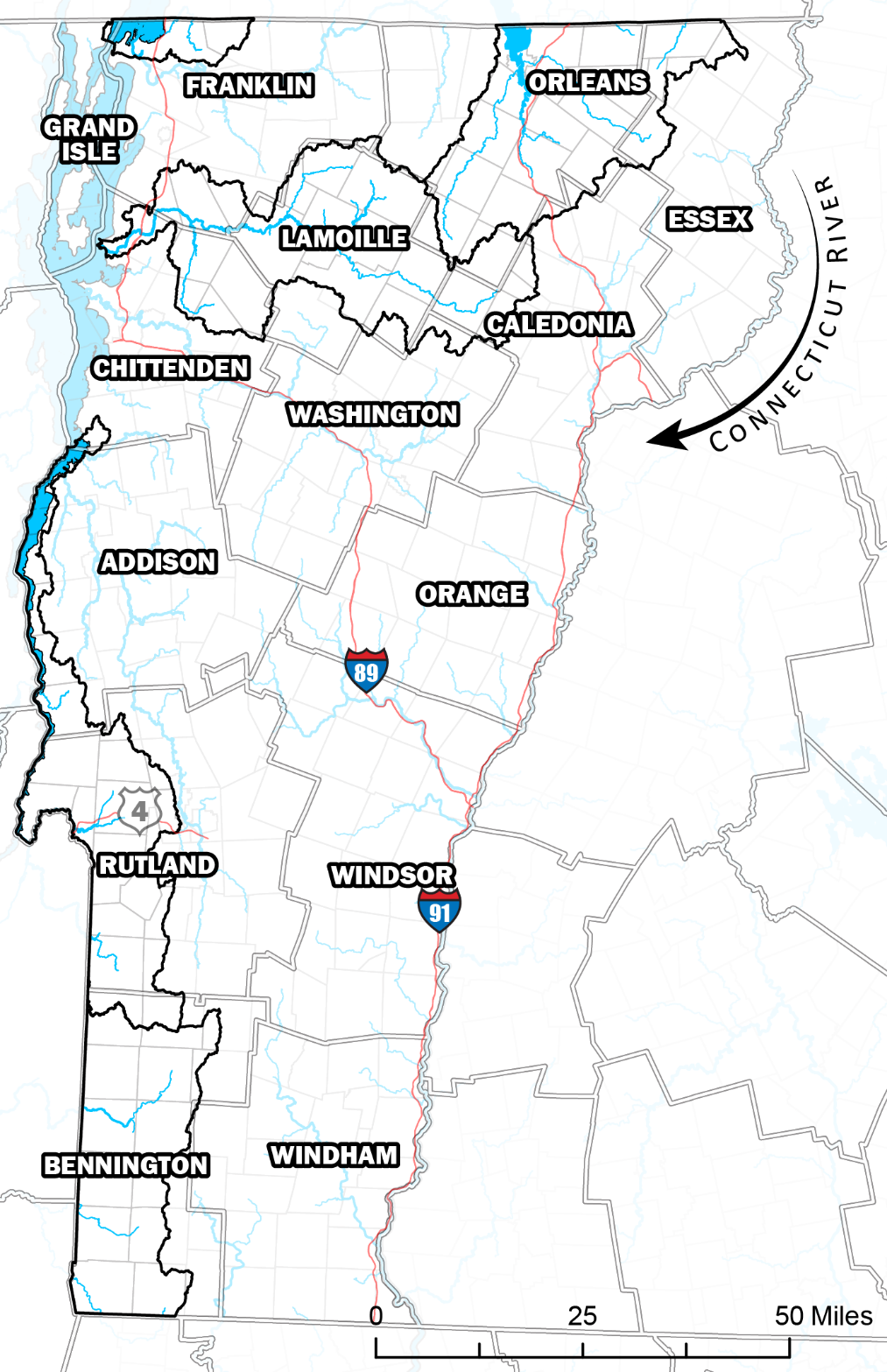
Areas of map updates include the watersheds outlined in black which include major portions of Bennington, Lamoille, and Orleans counties.
Vermont Agency of Natural Resources Website.
To support vital journalism, access our archives and get unique features like our award-winning profiles, Book of Lists & Business-to-Business Directory, subscribe HERE!
 Vermont Business Magazine