Vermont Business Magazine The majority of New England continues to experience drought into the fall, and the US Geological Survey is helping monitor conditions to inform those impacted and provide officials with near-real time updates for drought mitigation decisions. The USGS conducts real-time monitoring of the nation’s rivers and streams and collects continuous groundwater data.
A few areas of New England have been in drought since last year, and a portion of all six states were in drought by this June. This spring and summer, several states experienced severe or extreme drought.
USGS science helps water managers identify the communities that could be impacted and determine response strategies such as addressing crop loss and changes to water availability and quality. Droughts can also impact aquatic organisms and lead to higher concentrations of pollutants in water, habitat loss, increased water temperature and reduced levels of dissolved oxygen that is important for species survival.
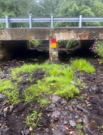 Zero streamflow was measured at the USGS Segreganset River streamgage near North Dighton, Massachusetts, on August 21, 2022. This image is looking downstream from the streamgage. Credit: USGS
USGS data on water levels are especially valuable if areas experience flash droughts, which occurred last year in the region. Flash droughts intensify quickly with less time for preparedness. USGS science also contributes to the U.S. Drought Monitor as well as the Drought Outlook led by NOAA’s National Weather Service.
In New England, the USGS collects and analyzes data from streamgages and wells in Connecticut, Maine, Massachusetts, New Hampshire, Rhode Island and Vermont.
The drought is due to factors such as below normal precipitation and above average temperatures this summer. Water levels have since recovered into the normal range at many sites after significant rainfall during September and early October.
Preliminary streamflow data collected by the USGS indicate some of the lowest seven-day averages this year in many locations in the region. Most of the record lows occurred in mid-August and took place in southern New England.
Provisional streamgage data are available through USGS WaterWatch at https://waterwatch.usgs.gov/index.php?id=wwdrought. To search, select “01 New England” for the “Water Res. Region” and then modify the dates based on interest.
The USGS and partners also collect data from wells in the region to gather insight on groundwater levels, and scientists have found that many wells are still below or much below normal. Based on preliminary data, 57 wells had water levels below the 5th percentile at the end of August, indicating widespread low groundwater levels. At the end of September, 20 wells had water levels below the 5th percentile.
Provisional USGS groundwater data are available at https://newengland.water.usgs.gov/web_app/GWW/GWW.html.
The USGS operates the most extensive monitoring network for streamflow and groundwater data in the nation. The USGS monitoring network provides a long-term record of historic data, which is vital to reconstructing the past and forecasting future events.
Data for this year are still provisional, as they are still being reviewed and verified by scientists.
Read a USGS story to learn more about the current drought and the role of science at https://www.usgs.gov/centers/new-england-water-science-center/news/provisional-data-detects-record-low-streamflows.
Source: USGS 10.5.2022